Where is Iran?
Where is Iran?
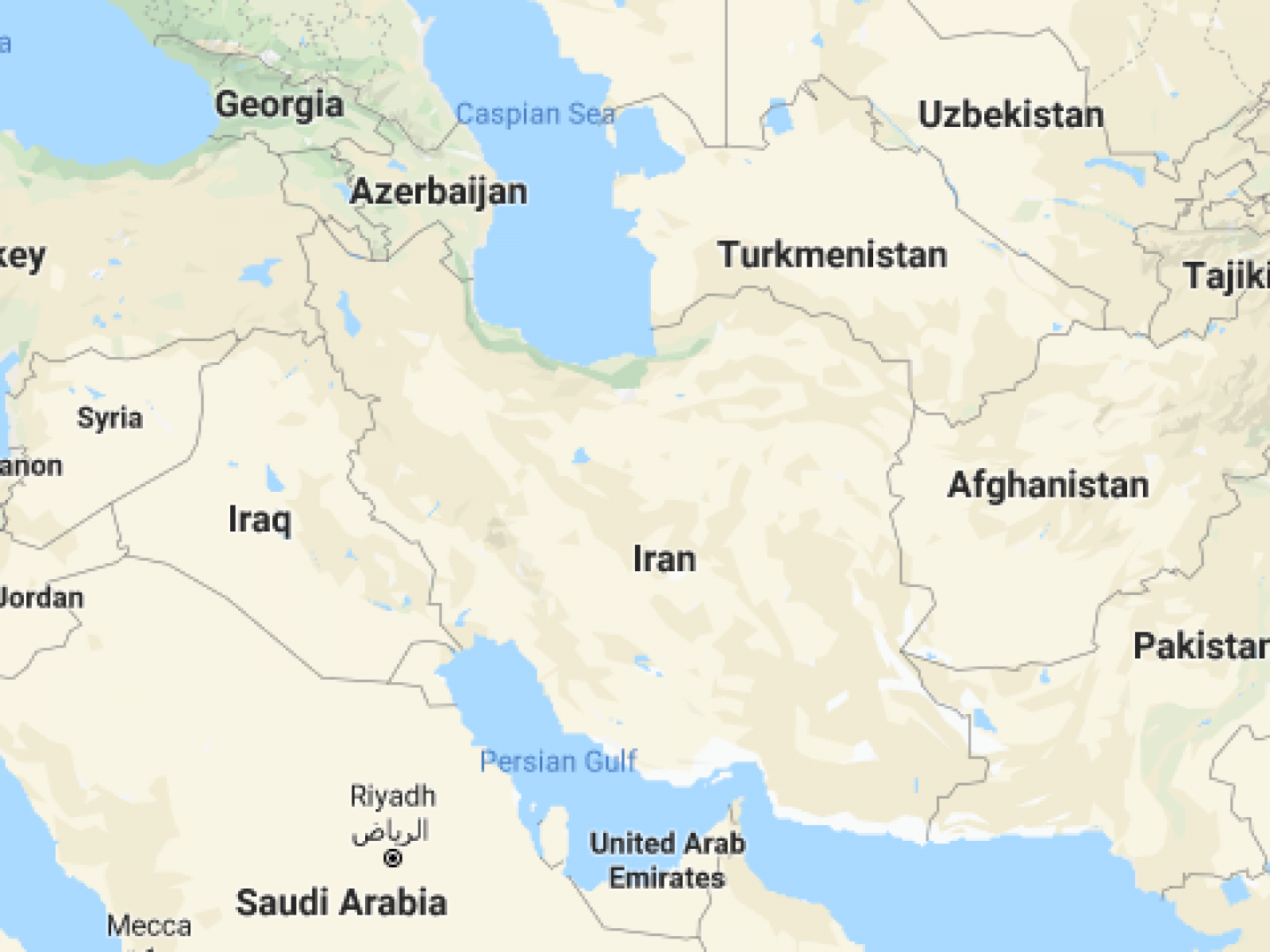
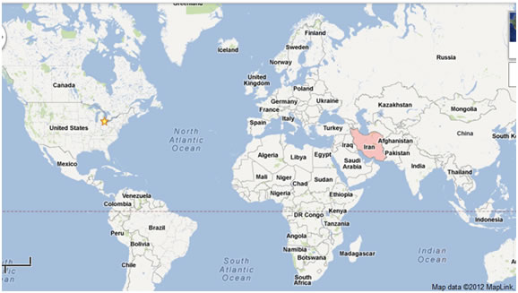
Acrossiran shows you Iran map and surrounding countries. In short, the location of Iran is in the western part of Asia and in the Middle East. Also, Iran is the 18th largest country in the world.
In this page you will read more about:
Iran on the world map
Iran and surrounding countries
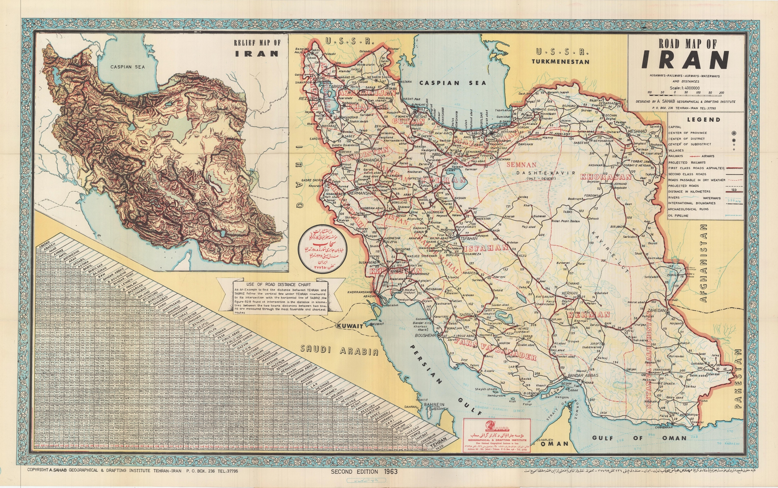
Map of Iran cities
Iran roads
To clarify, Iran covers an area over 1.6m km2. This area includes the total areas of land and national waters of the country. Consist of 31 provinces and 1248 cities.
And also, Iran map cities are one of the useful tools that allow you to specify all the main and subpaths.